The final rounds of a potent frontal system are now pushing off the coast of eastern New England, but it may not be long before new rounds of showers and storms develop.
First, the good news. The second half of the weekend will be dry will a mix of sun and clouds on Sunday, Aug. 13, and a high temperature in the mid-80s with relatively high humidity, according to the National Weather Service.
It will remain mostly clear overnight and dry during the day on Monday, Aug. 14. The high temperature will again be in the mid-80s.
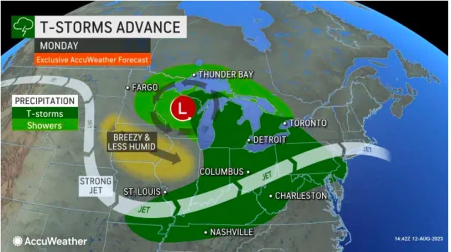
Clouds will increase later in the day Monday, with scattered showers and possibly a thunderstorm expected at times during the evening and overnight hours.
Spotty showers and possible storms will continue throughout the morning and afternoon on Tuesday, Aug. 15. The precipitation and cloud cover will keep the high temperature at around the 80-degree mark.
Precipitation will finally taper off the evening Tuesday, leading to a mostly sunny and comfortable day on Wednesday, Aug. 16. The high temperature will be in the upper 70s to around 80 degrees.
The outlook for Thursday, Aug. 17 calls for mostly sunny skies and a high temperature in the low-80s.
Check back to Daily Voice for updates.
Click here to follow Daily Voice Pelham and receive free news updates.